Prenota

LE RIVE DI S.PIETRO E LA COSTA DI ZUEL

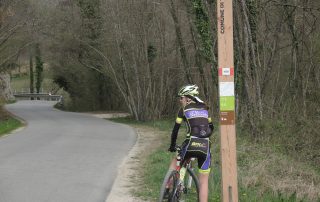
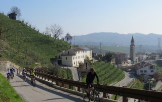
Distanza: 17 Km Dislivello: 400 metri Percorrenza: 1.5 H. Consigliato: mtb. Vedi mappa: www.gpsies.com Descrizione: Vom "Le Noci", können Sie zu Arfanta gehen und bestanden nur das Hotel „Tulio“ wiederum auf eine Seite links (weiß und rot Zeichen). Führen Sie [...continua]

LE CRESTE DEL MONDRAGON E DEL COL FRANCHIN

Distanza: 19 Km Dislivello: 600 metri Percorrenza: 2 H in bicicletta , 5 H a piedi. Consigliato: mtb, camminata Vedi mappa: www.gpsies.com Descrizione: Die Route ist herunterladbar leicht auf Ihrem Handy mit der GPS-Funktion, die Sie auf dem Weg führen. [...continua]

Die Dörfer und Geschichte

Distanza: 26 Km circa Dislivello: 500 metri Percorrenza: 2 H. circa Consigliato: per tutti Vedi mappa: www.gpsies.com Die Route ist herunterladbar leicht auf Ihrem Handy mit der GPS-Funktion, die Sie auf dem Weg führen Descrizione: Der Pfad, in dem Anfangsabschnitt, verläuft entlang der Höhen [...continua]

Il CASIN DEI OCHET (bivacco Marsini)

Distanza: 7 Km Dislivello: 300 metri Percorrenza: 2 H a piedi , 1 H in MTB. Consigliato: camminata, MTB. Vedi mappa: www.gpsies.com Descrizione: Loop-Route mit Abfahrt von der Farm. Die Route ist herunterladbar leicht auf Ihrem Handy mit der GPS-Funktion, [...continua]