
![]()
![]()
![]()
Distanza: 3 Km
Dislivello: 100 metri
Percorrenza: 1 H.
Consigliato: passeggiata.
Vedi mappa: www.gpsies.com
Descrizione:
The itinerary is easily downloadable on your phone with the GPS feature guides
you on the route.
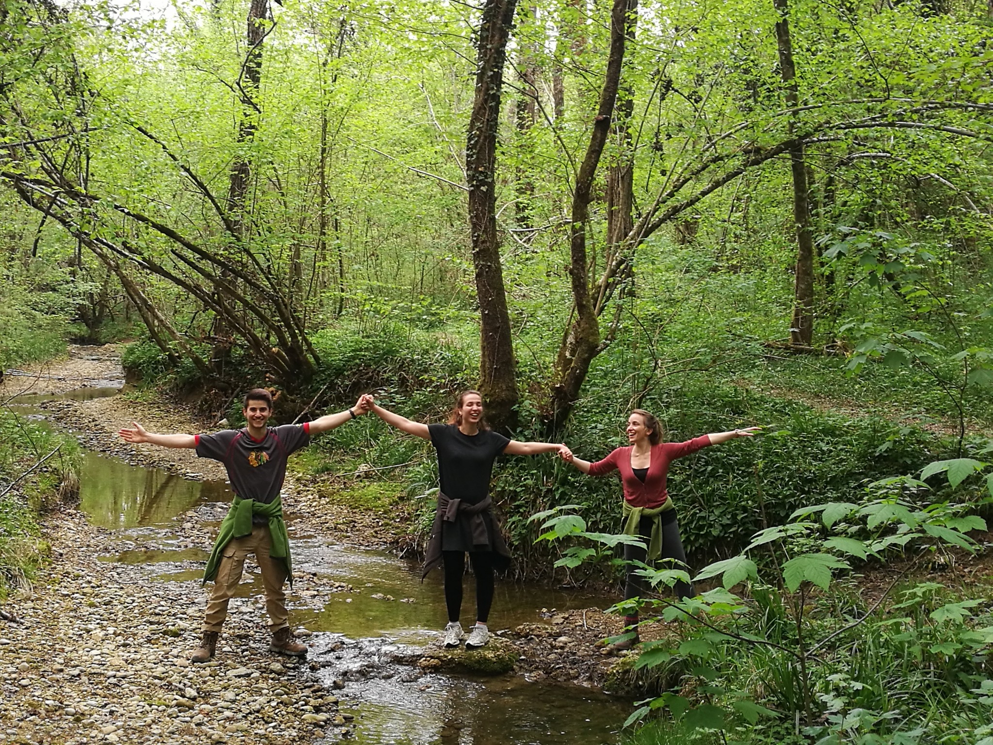
relaxing stroll through the woods by setting a creek and going
along charming canyons


