
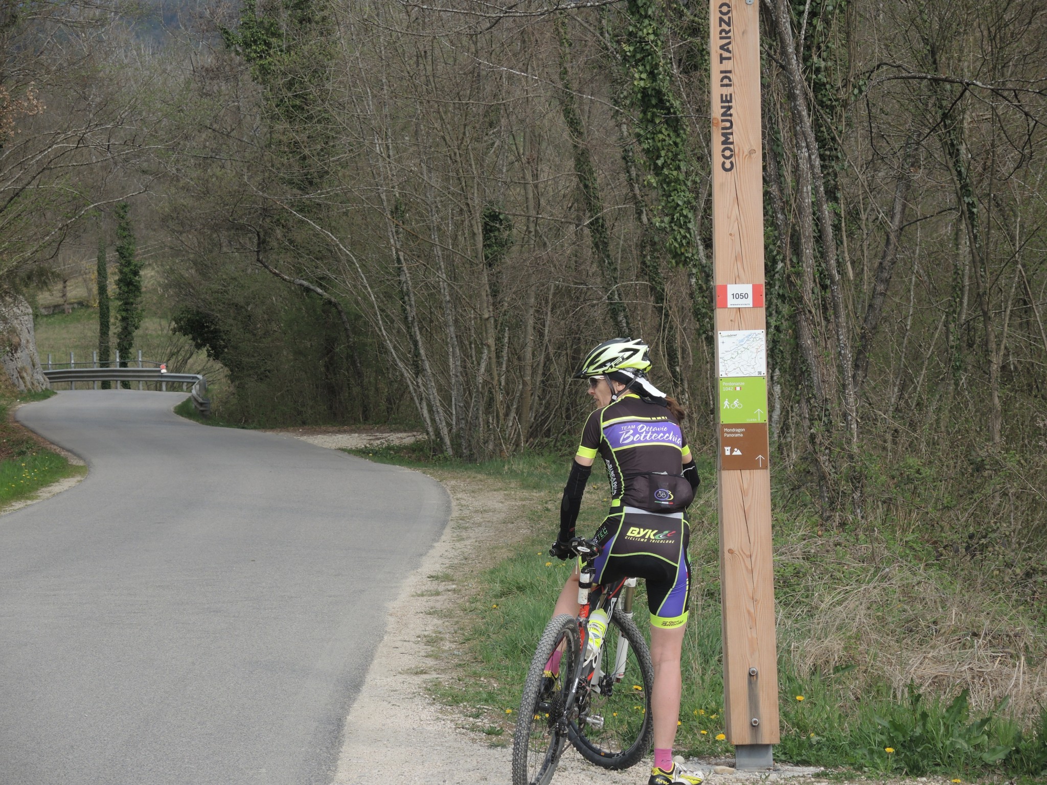
![]()
![]()
![]()
Distanza: 19 Km
Dislivello: 600 metri
Percorrenza: 2 H in bicicletta , 5 H a piedi.
Consigliato: mtb, camminata.
Vedi mappa: www.gpsies.com
Descrizione:
The itinerary is easily downloadable on your phone with the GPS feature guides you on the route.
From the walnut house you descend for the path in the woods
until you intersect the Molinetto road that is climbing to reach Mondaresca
Follow the sign “the mondaresca”, in front of the house
you leave the trail and continue towards W (private, sv placard closed fund)
With journey along the ridge you reach the ruins of houses Tomasi
At these you He takes a carriage that goes down to an uninhabited farmhouse,
then goes on a left for dune and always downhill until he crosses
the road to the Molino della Croda.
(On the right of the openings of the mines tunnels once used for the extraction of lignite)
Just in front of where it intersects the paved road
part a ramp that ascends the quiet valley of S. zuanet It supersedes
the old church up to where The road goes down (houses from the Toe),
crossing the houses on the dx you go to an uphill trail (water outlet)
At the next fork follows the still light path uphill flanked by a row of walnut trees,
until you reach a fork Holding the dx is exited from the woods for a steep path
that does not allow to remain in the saddle to the bicycle
We find ourselves in the vineyard Belonging to the Cadorin houses
that can be seen on the left, reached the houses and looking up you can see
the cross of the summit of Col Franchin (440 m – reachable in 10 minutes on foot)
Now follows the road from the houses leads to Right
in a slight uphill and then climb steeply on the western side of the mountain.
At the junction of 300 on the right. Finally,
reaching the paved road always deviate to the right
to take the relaxing Marzolle val and return to the nuts house.


